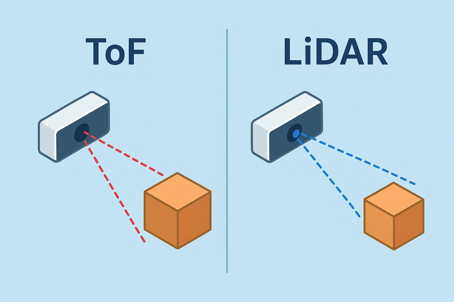
In today’s world of 3D sensing and depth-mapping technologies, two terms you’ll often hear are Time of Flight (ToF) and LiDAR (Light Detection and Ranging). Both technologies are used to measure distances, map environments, and enable applications ranging from autonomous vehicles to smartphones.
At first glance, ToF and LiDAR might seem similar—they both use light to measure distance—but they differ significantly in design, performance, and use cases. Let’s break down the differences.
How ToF Works
Time of Flight (ToF) refers to a method of depth sensing where a sensor measures the time it takes for light (usually infrared) to travel from an emitter to an object and back. The round-trip time is then converted into distance.
There are two main types of ToF systems:
- Direct ToF (dToF): Measures the actual travel time of light pulses with precise timing electronics.
- Indirect ToF (iToF): Measures the phase shift of a modulated light signal to estimate distance.
ToF is often used in:
- Smartphone cameras (for portrait mode, face recognition, AR apps).
- Robotics (basic obstacle detection).
- Industrial automation (object detection, presence sensing).
ToF cameras are compact, cost-effective, and fast, but they typically offer lower resolution and accuracy compared to LiDAR.
How LiDAR Works
LiDAR (Light Detection and Ranging) is a more advanced remote sensing technology. It sends out laser beams and measures the time it takes for each beam to reflect back from surrounding objects. Unlike ToF sensors that capture distance in a single direction, LiDAR systems scan across a wide field of view, creating detailed 3D maps known as point clouds.
Key applications of LiDAR include:
- Autonomous vehicles (high-precision environmental mapping).
- Surveying and mapping (terrain, forestry, archaeology).
- Drones (3D modeling and topographic surveys).
- Industrial safety systems (collision avoidance, perimeter monitoring).
LiDAR provides highly accurate measurements over longer ranges and generates detailed 3D data, but it is typically more expensive and power-hungry than ToF.
ToF vs. LiDAR: Key Differences
| Feature | ToF | LiDAR |
|---|---|---|
| Principle | Measures time or phase shift of light to detect distance. | Uses laser beams to create detailed 3D point clouds. |
| Accuracy | Good for short distances; less accurate at long range. | Extremely accurate, even over long distances. |
| Range | Short to medium range (a few meters). | Long range (up to hundreds of meters). |
| Resolution | Lower resolution depth maps. | High-resolution 3D imaging. |
| Speed | Fast real-time results. | Slower scanning but richer data. |
| Cost | Affordable, compact, used in consumer devices. | Expensive, requires specialized hardware. |
| Power Consumption | Low power, suitable for battery-powered devices. | Higher power consumption. |
| Applications | Smartphones, AR, simple obstacle detection. | Autonomous driving, mapping, drones, surveying. |
Which One Should You Use?
- Choose ToF if… you need a compact, cost-effective, and fast solution for short-range depth sensing—perfect for mobile devices, robotics, and simple automation tasks.
- Choose LiDAR if… you need high precision, long-range 3D mapping, and detailed environmental awareness, such as in self-driving cars, drones, or professional surveying.
In many industries, these technologies are not competitors but complements. For example, an autonomous vehicle might use LiDAR for mapping and ToF cameras for close-range object detection.
Conclusion
ToF and LiDAR share a similar principle—measuring light’s travel time—but serve different purposes. ToF is lightweight, affordable, and ideal for short-range consumer and industrial applications. LiDAR, on the other hand, delivers high accuracy and long-range 3D mapping, making it indispensable in advanced fields like autonomous navigation and geospatial surveying.
Understanding their differences helps businesses and developers choose the right technology for their needs, ensuring a balance between cost, performance, and application requirements.


